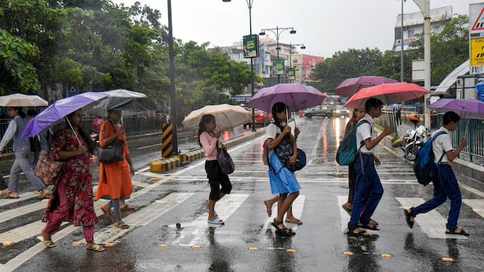
Heavy Rain Hits Karnataka and Kerala Amid Monsoon Onset

The CSR Journal Magazine

Heavy rainfall affected Karnataka and Kerala on June 6, 2026, marking a significant event in the monsoon season. The downpours serve as a testament to the atmospheric mechanisms at work since the monsoon officially began over Kerala two days earlier, on June 4. As a result, various regions in both states are experiencing the full impact of this weather front.

Mechanics Behind the Rainfall

The monsoon acts as a large heat engine, with temperature disparities generating a dynamic system. During the summer, the Indian landmass absorbs solar energy more rapidly in comparison to the adjacent Indian Ocean. This heating creates a low-pressure zone. The resulting air movement, characterised by lighter air rising, forms a strong vacuum effect which draws in moisture-laden winds from high-pressure regions over the ocean.

Upon reaching the Western Ghats, these winds are compelled to ascend. As they rise, the air cools, leading to condensation and, ultimately, the intense orographic rainfall currently observed in the affected areas. This phenomenon is crucial to understanding the substantial rainfall totals recorded, particularly in Dakshina Kannada and Udupi, where over 100 millimetres fell overnight.

A cyclonic circulation located offshore from Karnataka is exacerbating the situation, pulling in additional moisture and enhancing precipitation across the southern states. This developmental interplay drives the current weather system and contributes to the heavy rain events being reported.

Impact of Climate Factors on Monsoon

While the heavy rainfalls provide immediate benefits in terms of water supply, the overarching climate context cannot be overlooked. This year’s monsoon is facing the challenges posed by El Niño, a climatic phenomenon associated with unusually warm surface waters in the central and eastern Pacific Ocean. Such warming disrupts global wind patterns, which often have detrimental effects on the Indian monsoon, potentially leading to reduced rainfall.

Forecasters from the India Meteorological Department (IMD) have indicated that, despite the vigorous nature of the current monsoon surge, the long-term outlook remains cautious. Predictions suggest that the overall rainfall for the season may reach only 90 to 92 per cent of the long-term average. As El Niño conditions develop in the Pacific, global weather agencies are closely monitoring the situation.

The monsoon’s progression northward will be shaped not only by the current active surge of rain but also by the underlying climatic variables. The interplay between these accelerating weather patterns and existing climatic conditions will be critical in determining the season’s overall outcomes.

Focus on Immediate Weather Alerts

At present, the immediate focus remains on the heavy rainfall alerts issued for southern and northeastern India. As the monsoon system continues to develop, these regions are poised to experience significant changes. Early indicators suggest the rainfall events are a major shift, with expectations that this weather pattern may continue for the immediate future.

Overall, the implications of this monsoon event will be closely followed by meteorologists and those affected in the region. Communities in Karnataka and Kerala are now adapting to the realities of sudden and substantial rainfall, with significant attention on how this early monsoon impact will evolve.

Thus, the interaction of meteorological forces and climate conditions will be vital to understanding the full implications of the monsoon this season.

Long or Short, get news the way you like. No ads. No redirections. Download Newspin and Stay Alert, The CSR Journal Mobile app, for fast, crisp, clean updates!

App Store –  https://apps.apple.com/in/app/newspin/id6746449540 

Google Play Store – https://play.google.com/store/apps/details?id=com.inventifweb.newspin&pcampaignid=web_share

Latest News

Popular Videos