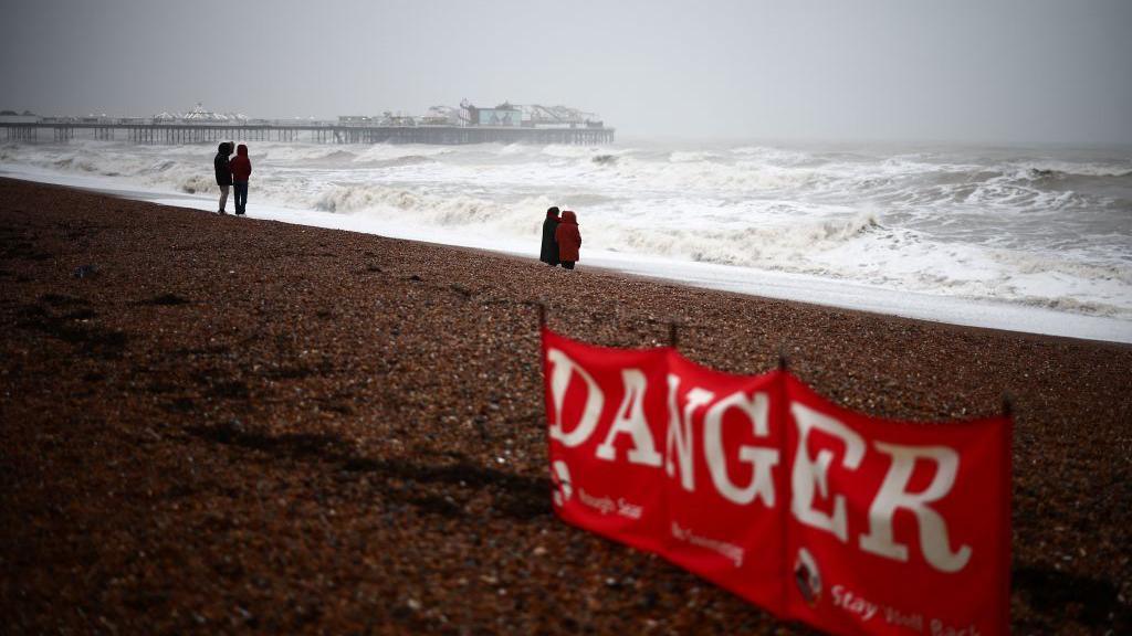
UK Braces for Historic Storm Threat as Extreme Weather Warning Issued

The CSR Journal Magazine

The UK is preparing for potentially its most extreme thunderstorm risk as forecasters predict severe weather conditions not commonly experienced in the country. An independent weather analyst has released data indicating the likelihood of historic storms occurring between Monday, June 22, and Friday, June 26, 2026. This forecast includes the possibility of frequent lightning, large hail, damaging winds, flash flooding, and the formation of tornadoes.

Understanding the Storm’s Energy Source

At the core of this warning is a measurement known as Convective Available Potential Energy (CAPE), which describes the energy available to lift warm air parcels upwards in the atmosphere. High levels of CAPE can enhance storm intensity. While typical summer values in the UK reach about 1,000 joules per kilogram, current models indicate values soaring between 2,000 and 5,000, with some readings above 7,000. Such extreme figures are generally only recorded in the central United States.

The atmospheric conditions contributing to this energy build-up include predicted temperatures in the mid to high 30s Celsius, combined with high dew points in the low to mid 20s. A high dew point signifies that the air holds substantial moisture, which, upon condensing into clouds, releases additional warmth, further increasing the buoyancy of the rising air. This interplay of heat and moisture serves as essential fuel for storm development.

However, energy alone is not sufficient for storm creation; a trigger is required to initiate the upward movement of warm air. Factors such as a cold front, mountain ranges, or colliding winds can instigate this motion. Monday is expected to provide clear triggering conditions, particularly as storms are anticipated along the M4 corridor, encompassing areas near Bristol, Swindon, and Gloucester, extending into North Wales. As the week progresses, while energy levels will remain, the triggering mechanisms may become less certain.

The Potential for Supercells

When wind patterns shift both in speed and direction with altitude, a phenomenon known as wind shear can occur. This condition can lead to the formation of rotating storm systems, termed supercells, which have the capacity to produce severe hail, high winds, and even tornadoes. The combination of these elements rarely aligns in the UK, making this week’s forecast notably unusual.

As the week unfolds, meteorologists and residents alike will monitor developments closely. The convergence of heat, moisture, and atmospheric dynamics has placed Britain at a heightened risk for extreme weather events. This situation warrants particular attention from those living in and around forecasted storm zones, especially as severe conditions can lead to impactful disruptions.

This week’s severe weather outlook serves as a reminder of the power of nature and the variability of British weather patterns. As Britain braces for the potential ramifications, preparedness measures may be crucial for safeguarding communities from possible storm-related damages.

Long or Short, get news the way you like. No ads. No redirections. Download Newspin and Stay Alert, The CSR Journal Mobile app, for fast, crisp, clean updates!

App Store –  https://apps.apple.com/in/app/newspin/id6746449540 

Google Play Store – https://play.google.com/store/apps/details?id=com.inventifweb.newspin&pcampaignid=web_share

Latest News

Popular Videos