


Indonesia Hit by Two Major Earthquakes, 7.7-Magnitude Quake Triggers Tsunami Warning
The CSR Journal Magazine

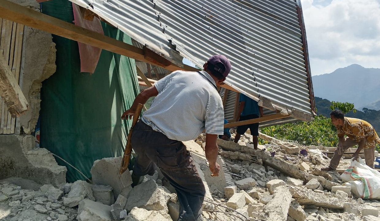
Indonesia was struck by two powerful earthquakes on August 15, including a major quake with a magnitude of 7.7 near Flores Island. This incident prompted a tsunami warning and resulted in numerous aftershocks, raising concerns about the seismic activity in the region. The earthquakes underscored Indonesia’s position as one of the most earthquake-prone areas globally.

The primary earthquake took place close to Flores, an eastern Indonesian island characterised by its complex geological interactions. The area is influenced by the collision of multiple tectonic plates, namely the Australian Plate and the Sunda Plate, which are significant contributors to the region’s seismic activity.

This earthquake was recorded at a relatively shallow depth of approximately 10 to 15 kilometres beneath the seabed. Shallow earthquakes tend to cause more considerable damage due to the shorter distance the seismic waves must travel to the surface. As such, the shaking was acutely felt across Flores and the surrounding islands.

Tectonic Activity Behind the Earthquakes

The seismic events are attributed to the ongoing subduction process where the Australian Plate is gradually moving northward, slipping beneath the Sunda Plate. Over extended periods, this interaction results in the accumulation of immense stress within the Earth’s crust. When this pressure exceeds the strength of the rocks, it can lead to sudden ruptures, manifesting as earthquakes.

The second earthquake and the numerous aftershocks that followed are believed to be the result of stress readjustment along the fault lines in the aftermath of the primary quake. When a significant section of the Earth’s crust fractures, surrounding faults generally respond to the redirection of pressure, generating further seismic activity. This subsequent activity can persist for days or even weeks.

Historically, the Flores region has encountered significant seismic events. Notably, a magnitude 7.5 earthquake and tsunami occurred in 1992, devastating the surrounding area and claiming thousands of lives. The history of major earthquakes in this region underscores the importance of understanding the ongoing tectonic processes at play.

Indonesia’s Geological Context

The latest earthquakes serve as a reminder of Indonesia’s geographical positioning on the Pacific “Ring of Fire.” This horseshoe-shaped belt encircles the Pacific Ocean and is recognised as the global epicentre for earthquakes and volcanic eruptions. Consequently, as tectonic plates continue to converge and slide beneath one another, the risk of powerful earthquakes remains an ongoing concern for the Indonesian archipelago.

Scientists continue to monitor the eastern Sunda-Banda arc, which is regarded as one of the most active seismic belts internationally. The interaction of these major tectonic plates not only contributes to Indonesia’s geological volatility but also presents challenges for disaster preparedness and response in the region.

As Indonesia grapples with its seismic vulnerability, the need for further research and improved safety measures is paramount. While the natural processes underlying these earthquakes are not preventable, understanding them helps mitigate their impacts on the population and infrastructure. Ongoing geological studies will be essential for enhancing preparedness in the face of future seismic events.

Long or Short, get news the way you like. No ads. No redirections. Download Newspin and Stay Alert, The CSR Journal Mobile app, for fast, crisp, clean updates!

App Store –  https://apps.apple.com/in/app/newspin/id6746449540 

Google Play Store – https://play.google.com/store/apps/details?id=com.inventifweb.newspin&pcampaignid=web_share

Latest News

Popular Videos
