
Western Disturbances Affect Weather Patterns in Northern India

Related Articles
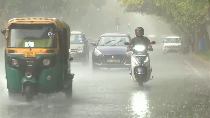
Delhi-NCR Experiences Break from Rainfall Amidst Cloudy Skies
Delhi-NCR has woken up to a reprieve from the incessant monsoon rains, featuring cloudy skies without any significant rainfall on the morning of Saturday,...
Monsoon Covers Entire India, Rainfall Deficit Narrows to 14%
The monsoon has successfully reached all corners of India, marking a significant development for the ongoing rainy season. Reports indicate that this year’s monsoon...
Monsoon Returns to India, Reducing Rainfall Deficit to 19%
The southwest monsoon has made a notable return in many regions of India, resulting in the cumulative rainfall deficit decreasing to 19 per cent....