


Orange Alert Issued for Delhi as Rainfall is Set to Intensify
The CSR Journal Magazine

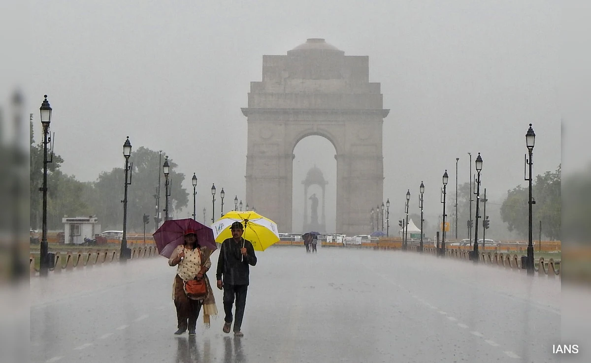
Delhi is preparing for a period of moderate to heavy rainfall on Wednesday, August 5, as the India Meteorological Department (IMD) has issued an orange alert. This warning indicates that thunderstorms and lightning are anticipated to spread across various parts of the capital and nearby regions.

According to the IMD’s district-level nowcast, released at 10:47 am and effective until 1:47 pm, thunderstorms accompanied by lightning and moderate rain are very likely in southeast, east, central, northeast, south, and west Delhi. In addition, light rain and thunderstorms, with wind speeds ranging from 30 to 40 kmph, are expected to occur throughout several districts.

Rainfall had commenced in parts of Noida, Faridabad, and southeastern Delhi in the hours leading up to the advisory, alongside the formation of convective clouds overhead. This atmospheric change suggests a shift towards more active weather conditions.

Rainfall to Expand Across Delhi-NCR

The weather is predicted to become increasingly dynamic during the afternoon hours. Over the next two to four hours, rainfall activity is likely to extend into north, central, and western Delhi, as well as Gurugram and Ghaziabad. Approximately 30 to 50 per cent of the region is expected to experience rain, with some areas potentially receiving between 20 and 55 mm of precipitation.

The heaviest rainfall is projected to occur in brief, episodic bursts rather than as steady downpours. These showers will likely be accompanied by strong winds and thunderstorms. Conditions conducive to this weather pattern are expected to persist until about 5 pm, after which the intensity of rainfall is likely to gradually diminish.

A satellite image capturing the current weather systems above the Indian subcontinent highlights the various meteorological influences at play. This visual representation underscores the active monsoon patterns affecting the region.

Factors Contributing to the Rain Spell

The ongoing rainfall is primarily driven by convective developments. This phenomenon involves rapidly rising warm and moist air that contributes to the formation of tall thunderclouds, which are capable of producing sudden, intense showers, lightning, and strong winds. Such conditions are characteristic of active monsoon periods in the region.

The presence of moisture-rich air coupled with atmospheric instability facilitates the swift development of clouds, leading to heavy rainfall over relatively small geographical areas. The IMD’s district-level forecast illustrates the highly localised nature of this rainfall event. While certain segments of Delhi may experience significant rainfall, neighbouring areas could witness markedly lighter precipitation.

This latest rain spell also coincides with ongoing monsoon activity across northern India. Weather systems and the monsoon trough are providing support for rainfall across Delhi, as well as in the neighbouring states of Haryana and Uttar Pradesh. For the Delhi-NCR region, the subsequent hours are deemed critical as rain is expected to intensify before tapering off later in the day, marking another episode in the increasingly active monsoon phase affecting the capital.

Long or Short, get news the way you like. No ads. No redirections. Download Newspin and Stay Alert, The CSR Journal Mobile app, for fast, crisp, clean updates!

App Store –  https://apps.apple.com/in/app/newspin/id6746449540 

Google Play Store – https://play.google.com/store/apps/details?id=com.inventifweb.newspin&pcampaignid=web_share

Latest News

Popular Videos
