


Cyclone Murasu Set to Impact Andhra Pradesh with Heavy Rain and Winds
The CSR Journal Magazine

Cyclone Murasu is approaching India’s eastern coastline, posing significant risks due to its strong winds and heavy rainfall. The severe cyclonic storm was located over the west-central Bay of Bengal at 2:30 pm on November 2, approximately 100 km east of Nellore, 120 km southeast of Kavali, and 160 km north-northeast of Chennai. The India Meteorological Department (IMD) reports that Murasu is moving northwest at a speed of around 10 kmph and is anticipated to make landfall along the southern coast of Andhra Pradesh between Nellore and Narsapur, south of Ongole.

The expected timeframe for landfall is between 11:30 pm on November 2 and 4 am on November 3. The IMD has indicated that the cyclone could produce sustained wind speeds of 100-110 kmph, with gusts possibly reaching 120 kmph during the landfall period.

Heavy Rainfall Forecast for Andhra Pradesh

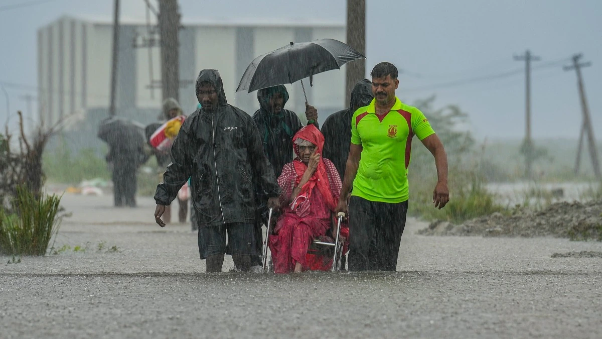
Coastal regions of Andhra Pradesh are predicted to experience severe weather, with light to moderate rainfall expected across most areas, while heavy to very heavy rainfall is likely at several locations on November 2 and 3. Isolated places may experience extremely heavy rainfall, intensifying the risks of flooding and other related hazards. The Rayalaseema region is also forecasted to receive substantial rainfall, with extremely heavy showers possible in certain areas on Tuesday.

In addition to Andhra Pradesh, the IMD has issued warnings for north Tamil Nadu, where heavy rainfall is expected on November 2, particularly in Chennai, Tiruvallur, Ranipet, Kancheepuram, and Chengalpattu. Rainfall is anticipated to persist in isolated areas on Tuesday, contributing to the overall weather disturbances caused by Murasu.

The cyclone’s effects are projected to extend further inland, with Telangana likely to see an increase in rainfall intensity on Tuesday. Heavy to very heavy rainfall, along with extremely heavy showers at isolated locations, is forecasted for various parts of the state. Additionally, regions in south Odisha and south Chhattisgarh may also receive rainfall, with isolated heavy showers expected from November 2 to 4.

Wind Speeds and Sea Conditions

The cyclone is anticipated to generate gale-force winds, reaching speeds of 100-110 kmph, with gusts up to 120 kmph over the west-central Bay of Bengal until midnight on November 2. As the storm approaches the Andhra Pradesh coastline, wind speeds are expected to intensify to 100-110 kmph, with gusts reaching 120 kmph during the night and early hours of Tuesday.

North Tamil Nadu and Puducherry may experience gale winds of 60-70 kmph, with gusts potentially reaching 80 kmph. The IMD has also cautioned about very high sea conditions over the west-central Bay of Bengal, which are expected to persist until Tuesday morning. High to very high sea conditions are forecasted along the Andhra Pradesh coast, posing risks to maritime activities.

Conditions at sea are likely to gradually improve from November 3 onwards. The IMD will continue to monitor Cyclone Murasu using Doppler Weather Radars located in Chennai, Machilipatnam, and Visakhapatnam as it approaches the coastline, ensuring timely updates and warnings for the affected regions.

Long or Short, get news the way you like. No ads. No redirections. Download Newspin and Stay Alert, The CSR Journal Mobile app, for fast, crisp, clean updates!

App Store – https://apps.apple.com/in/app/newspin/id6746449540

Google Play Store – https://play.google.com/store/apps/details?id=com.inventifweb.newspin&pcampaignid=web_share

Latest News

Popular Videos
