
Severe Hail and Rain Alert Issued as 1,000-Kilometre Cloud Band Affects Delhi NCR

Related Articles
Tamil Nadu Congress Chief Offers Resignation After Assembly Polls
The chief of the Congress party's Tamil Nadu unit, Selvaperunthagai, announced on February 1, 2025, that he plans to resign from his position following...
West Bengal Elections Mamata Banerjee Jeet ya Haar: बंगाल चुनाव में ममता बनर्जी का क्या होगा? जीत या हार
TMC की चुनावी रणनीति का बड़ा फैक्टर
West Bengal Elections Mamata Banerjee Jeet ya Haar: West Bengal में विधानसभा चुनाव नजदीक आ रहे हैं और...
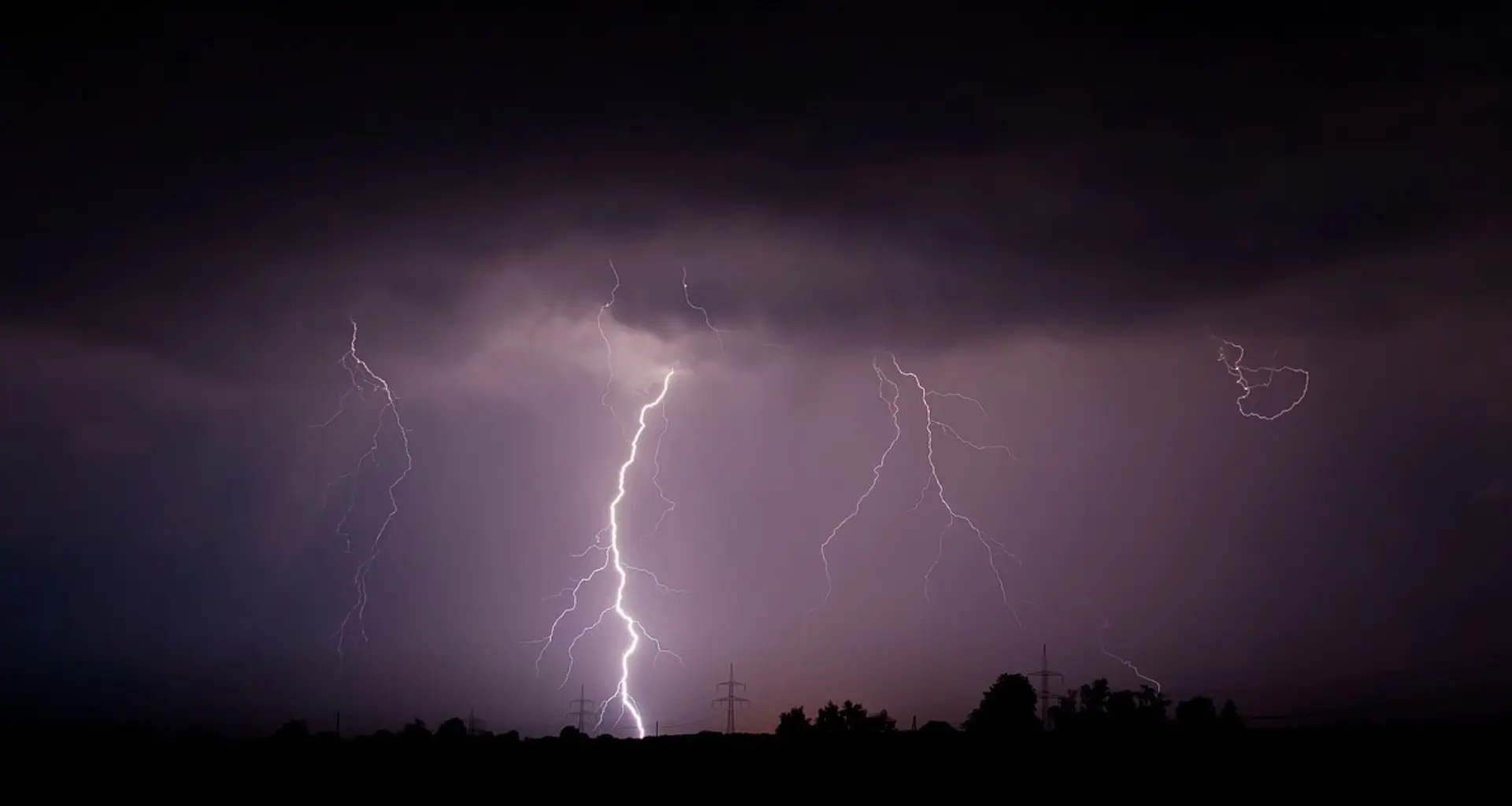
IMD Warns of Heavy Rain and Hailstorms in Northwest India
Northwest India is set to experience significant weather changes as several atmospheric disturbances affect the region. The India Meteorological Department (IMD) has issued a...