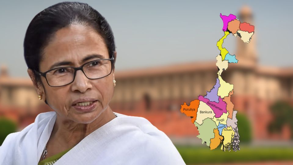
After hundred years, West Bengal government is doing new cadastral or mouza map. According to government, character of muozas changed within these hundred years. Accordingly, survey is conducting every corner of the state and then, mouza’s map will be corrected.
When was the last mouza map made?
According State land department sources, last time cadastral map was made in 1925. After that, government never did cadastral map survey. A senior official of land department said, “Within these hundred years, many things changed in West Bengal. Area of Bengal has been changed many times. Portion of Bengal went to Bihar, Assam. On the other hand, Bengal was divided in 1947 in East Bengal and West Bengal. So, land of Bengal was changed accordingly.”
He further said, “After division of Bengal, huge population influx happened in West Bengal. Many agricultural land, vested land, low land transformed as “bastu” land or residential land. In many cases, panchayat areas came under municipalities or corporations. So, accordingly characteristics of muoza and its land also changed but, in many cases, that is not reflected in the mouja map. So, new survey will ensure latest characteristics of Mouza and its land which help to determine government, where government has which type of land.”
How Bengal government will make the mouza map?
According to land department, help of satellite image will be taken. In the same way, sophisticated Zio tagging cameras, even drone-paintings will assist. The Directorate of Land Records and Survey will review and final observation of this information on each mouza. According to sources, the survey will be done to create this map in three steps.
Map to be made phase by phase
The first phase will be surveyed in Howrah, Hooghly, Jhargram, East Burdwan, East Midnapore and West Midnapore. The second phase will be surveyed in two 24 parganas, West Bardhaman, Bankura, Purulia, Nadia and Birbhum. The third phase will be surveyed in Malda, Murshidabad, two Dinajpur, Darjeeling, Kalimpong, Jalpaiguri, Koch Bihar and Alipurduar.
However, Kolkata will be excluded from this process. Land use has its own map in Kolkata right now. There is detailed information about the character of the land in Kolkata. Land department sources said, there are 42,302 mouzas in the state at this moment. Separate maps will be made for mouzas containing water-based islands in the state. According to the information available from the state government, 68,453 mouza-map will be created for 42,302 mouzas.


