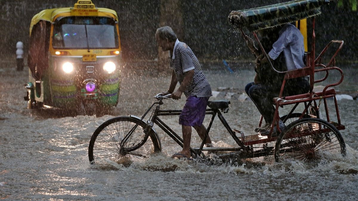
1,000-Kilometre Cloud Band Withdraws After Heavy Rains in North India

The CSR Journal Magazine

A significant 1,000-kilometre-long cloud band that brought extensive rainfall and stormy weather to northern India is now reportedly moving away, as per satellite imagery from the India Meteorological Department (IMD). The latest visual data illustrates a dense corridor of clouds that extends from parts of Pakistan through northern and central India, stretching into eastern regions of the country.

This extensive weather system, linked to an active western disturbance, has affected several states over the last two days, including Punjab, Haryana, Delhi-NCR, Uttar Pradesh, and parts of Rajasthan. The presence of these clouds resulted in gusty winds and dust storms in various areas, providing relief from the rising temperatures but also causing some temporary disruptions to daily life.

Impact on Daily Life

In Delhi-NCR, for instance, strong winds and skies laden with dust substantially reduced visibility, while scattered showers provided a welcome drop in temperatures. Local residents experienced the dual impact of cooling rain and the inconvenience of disrupted activities due to the stormy conditions.

Reports indicate that this weather system is currently diminishing and shifting eastward, with rainfall intensity expected to decline across the northwestern states. However, meteorologists caution that some residual cloudiness and light rainfall may continue over regions like eastern Uttar Pradesh and Bihar for at least the next 24 hours.

Experts from the IMD explained that extensive cloud bands are characteristic of western disturbances, which originate in the Mediterranean region and travel eastward, carrying moisture that can lead to significant precipitation and thunderstorms upon interacting with local atmospheric conditions in India.

Analysis of Cloud Structure

The satellite images have not only revealed the vast scale of this weather system but also its structural characteristics, showcasing thick cloud clusters concentrated over the Indo-Gangetic plains, with lighter formations moving towards central and southern India. These patterns highlight the active meteorological processes occurring in the region, as weather dynamics evolve.

Weather specialists have pointed out that while the immediate effects of this cloud band are decreasing, the event serves to illustrate the growing variability in pre-monsoon weather patterns. Over recent years, occurrences of sudden cloudbursts, severe dust storms, and intense rainfall have become increasingly prevalent.

As skies gradually clear across northern India, a rise in temperatures is anticipated. The IMD will continue to observe additional western disturbances that may impact weather conditions in the upcoming weeks, keeping the public informed on potential shifts in weather patterns and their implications for the region.

Long or Short, get news the way you like. No ads. No redirections. Download Newspin and Stay Alert, The CSR Journal Mobile app, for fast, crisp, clean updates!

App Store –  https://apps.apple.com/in/app/newspin/id6746449540 

Google Play Store – https://play.google.com/store/apps/details?id=com.inventifweb.newspin&pcampaignid=web_share

Latest News

Popular Videos